M6.4 Papua New Guinea Quake Felt 425 km Away in Port Moresby
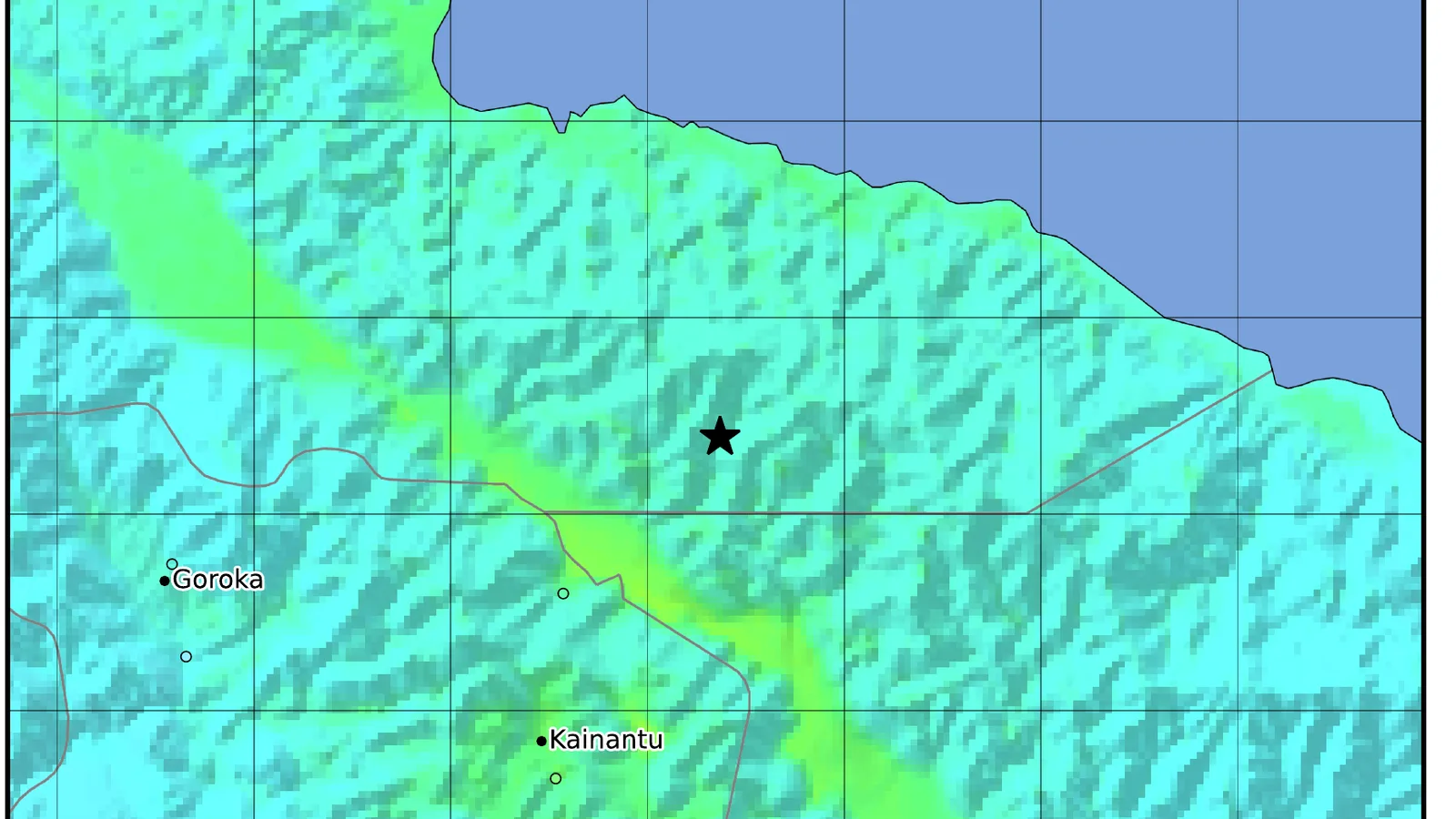
A magnitude-6.4 earthquake struck the Eastern Highlands of Papua New Guinea on September 20, 2026, at 09:17 UTC — 19:17 local time — with its epicentre 49 km north-northeast of the town of Kainantu, according to the United States Geological Survey. The USGS puts the hypocentre at a depth of 104.3 km, and its analysts have since reviewed the origin rather than leaving it as an automatic solution. The European-Mediterranean Seismological Centre independently recorded the same event at magnitude 6.4 and a depth of roughly 104 km, as reported by The Watchers. The USGS listed no tsunami threat.
What makes a quake of this size worth a second look is how far it travelled. The USGS "Did You Feel It?" system logged 30 responses. The strongest reported shaking — a community intensity of 5.6 — came from near Kainantu, about 109 km from the hypocentre. But three separate responses came from Port Moresby, the capital, between 413 and 425 km away, alongside reports from Lae, Madang, Goroka, Mount Hagen, Mendi and Tari. The agency's PAGER model estimates roughly 446,000 people were exposed to moderate (intensity V) shaking and about 990,000 to light (intensity IV) shaking. Those are modelled population-in-shaking-radius figures, not confirmed counts of anyone harmed.
The USGS issued a Green PAGER alert, whose standard wording is that "there is a low likelihood of casualties and damage." That sits alongside PAGER's own note on the region's building stock: residents "reside in structures that are a mix of vulnerable and earthquake resistant construction," with informal construction in metal and timber and unreinforced brick masonry named as the predominant vulnerable types. The secondary-hazard models were quiet too. The landslide alert is green, with an estimated population exposure of zero, and the liquefaction alert is green, with roughly 490 people estimated to be in areas where liquefaction could occur.
The comparison the USGS itself draws is the reason the depth matters. On October 13, 1993, a magnitude-6.9 earthquake struck 47 km north-northeast of Kainantu — almost the same patch of ground — but at a depth of 25.3 km. PAGER's historical note for that event records 286,000 people exposed to intensity VII shaking and 60 reported fatalities. The September 20 quake was about four times deeper, and the shaking that reached the surface topped out around intensity V.
What is still missing is a ground-truth account. No casualties or structural damage had been officially reported as of September 21, but that is an absence of reporting rather than a verified all-clear: no statement from Papua New Guinea's National Disaster Centre or its Geohazards Management Division has been published. The USGS last updated the event page at 05:12 UTC on September 21. A provincial damage survey from Eastern Highlands authorities, and the aftershock sequence, are the next things to watch.
Sources
- USGS Earthquake Hazards Program — M 6.4, 49 km NNE of KainantuPrimary source
- USGS PAGER — impact and exposure estimatesPrimary source
- USGS Did You Feel It? — felt reportsPrimary source
- USGS Ground Failure — landslide and liquefaction estimatesPrimary source
- USGS — M 6.9 Kainantu earthquake, 13 October 1993Primary source
- The WatchersSecondary
Related
Typhoon Dujuan Nears Tokyo at 965 hPa; JR East Halts Chiba Lines
Navajo Nation Flood Kills 3, Including 7-Year-Old, Near Newcomb
Category 3 Hurricane Lowell Set to Pass Near Kauai
Krakatau Ash Shuts 8 Airports; Indonesia Starts Cloud-Seeding
Edouard Makes Landfall, Cuts Power to 75,000 in Texas
Nepal Raises Flood Missing Toll to 6,150 After District Check
Sinabung Erupts Again, 615 Evacuated in North Sumatra
Grand Canyon Flood: Missing Count Drops From 15 to 1
Trending now
- Albania to be 73rd Artemis Accords signatory on Sept. 21
- China's CXMT Starts Mass Production of 11.95nm G5 DRAM
- Claude Sped Up 30+ Biology Models 4x, $1M Protein Contest Opens
- Northwestern Study: Disorder Can Make Networks Stabler
- Universal, Sony Sue Suno Again Over 60,202 Recordings
- Buffett, 96, Steps Down as Berkshire Chair; Son Howard Elected
- Alibaba Open-Sources CT AI That Flags 146 Conditions
- 1,200 Gravity Readings Revive King Tut Hidden-Chamber Debate
Comments
No comments yet. Be the first.